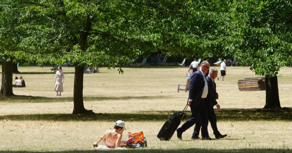
The alert, issued by the UK Health Security Agency (UKHSA), is currently in place until 10am next Tuesday, covering London, the East Midlands, West Midlands, East of England, South East and South West.
“Significant impacts” are likely across health and social care services due to the higher temperatures, with the Met Office warning some areas will reach official heatwave criteria, with temperatures climbing into the low 30s by the end of the week.
It comes after two amber heat health alerts were issued in consecutive weeks at the end of June amid separate heatwaves.
The UK saw its hottest day of the year so far when 34.7°C was recorded at St James’s Park in central London on July 1, while the capital also experienced the hottest start to Wimbledon on record.
Here is the hour-by-hour forecast for Wednesday, July 9:
11am – Sunny intervals, 22°C
12pm – Sunny intervals, 23°C
1pm – Sunny intervals, 24°C
2pm – Sunny intervals, 25°C
3pm – Sunny intervals, 26°C
4pm – Sunny intervals, 26°C
5pm – Sunny intervals, 27°C
6pm -Sunny intervals, 27°C
7pm – Sunny intervals, 27°C
8pm – Sunny intervals, 27°C
9pm – Partly cloudy, 26°C
10pm – Cloudy, 24°C
11pm -Cloudy, 23°C
Here is the hour-by-hour forecast for Thursday, July 10:
6am – Sunny, 19°C
7am – Sunny, 20°C
8am – Sunny, 21°C
9am – Sunny, 22°C
10am – Sunny, 24°C
11am – Sunny, 25°C
12pm – Sunny, 27°C
1pm – Sunny, 28°C
2pm – Sunny, 29°C
3pm – Sunny, 30°C
4pm – Sunny, 30°C
5pm – Sunny, 31°C
6pm – Sunny, 31°C
7pm – Sunny, 30°C
8pm – Sunny, 28°C
9pm – Clear, 26°C
11pm – Clear, 24°C
Here is the Met Office weather forecast in full:
Sunny skies at first, with some cloud then spilling in from the northwest through the day giving more in the way of sunny spells. Feeling warm or very warm in light winds, although likely a touch cooler along the coast. Maximum temperature 28 °C.
Tonight:
A fine evening for most in the late sunshine. Patchy high cloud lingering in places overnight, otherwise clear skies. Feeling humid. Light winds. Minimum temperature 14 °C.
Thursday:
Clear skies will see a day of prolonged sunshine. Sun perhaps turning hazier at times through the afternoon as high cloud drifts in. Feeling very warm or hot. Humid overnight. Maximum temperature 30 °C.
Outlook for Friday to Sunday:
Fine and sunny through the period, perhaps a few cloudy starts. Hot by day and humid at night, although feeling slightly cooler along the coast. Light winds.
Provisional Met Office figures show that June was the warmest on record in England, with the latest heatwave expected to last longer and affect a wider area than previous events this summer.
Dan Holley, Deputy Chief Meteorologist at the Met Office, said: “We’ll see temperatures build day-on-day, with the potential for hot conditions to become quite widespread by the end of the week and into the weekend.”
UV and pollen levels will also be very high in some regions, and people are advised to stay hydrated, avoid the midday sun, and check on vulnerable individuals.


