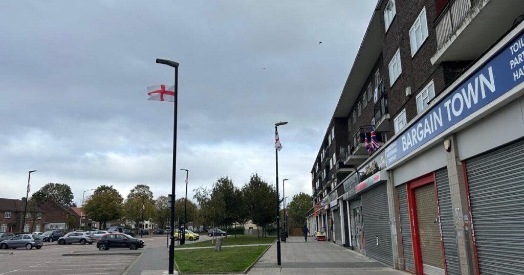
New figures have been published by the Ministry of Housing, Communities and Local Government showing the most and least deprived areas of every borough in England.
According to the data for Havering, Harold Hill East is the most deprived area in the borough – ranking in the top 10 per cent across the country for highest levels of deprivation.
READ MORE: Drug poisoning deaths in Havering double since 2014
However, out of this 10 per cent – or 3,375 neighbourhoods – Harold Hill East is the 2,757th most deprived in England.
It is also the only part of Havering to fall into this highly deprived percentile, with a large proportion of neighbourhoods ranking in the least deprived 10 and 20 per cent groups.
The Harold Hill East area includes Chippenham Road, Farnham Road and part of Gooshays Drive.
The score for each area is calculated based on factors including income, employment, education, crime, and barriers to housing and services.
Once all the 33,755 neighbourhoods in England are given a ranking, they are then divided into 10 groups called deciles, where the first decile includes the 3,375 most deprived neighbourhoods and so on.
Havering areas in the second decile – or top 20 per cent for highest levels of deprivation – include Upminster South & Corbets Tey, Upminster North & Cranham West and Hacton.
Five most deprived areas in Havering
- Harold Hill East – 2,757th in England
- Harold Hill West – 5,153rd in England
- Central Romford – 5,388th in England
- Petersfield Avenue & Duck Wood – 6,428th in England
- Elm Park West – 6,526th in England


