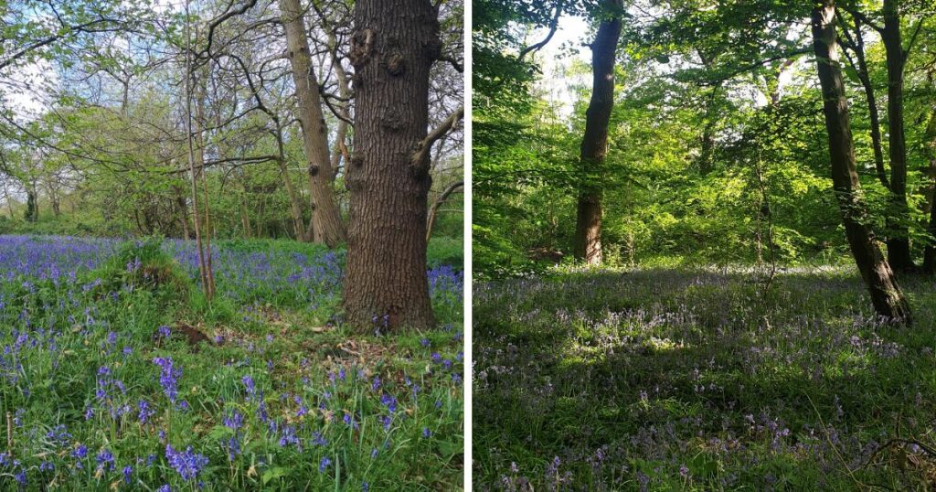
New research from The Guardian has revealed that 5,000 of England’s sensitive, rare and protected natural landscapes could be under threat of being destroyed by developments.
The bill, which was announced by the Labour government on 11 March, will introduce a new planning system across England named “spatial development strategies”.
This new plan will look to local authorities’ “most sustainable areas” to build on and comes following the government’s pledge to build up to 1.5 million homes across the UK to aid the ongoing housing crisis.
However, concerns have been raised that some of England’s protected natural habitats could be at risk following an analysis made of the legislation by The Guardian.
In the article, experts warned that this bill could effectively enable developers to “pay to pollute”, putting ecosystems at risk.
These areas, which include sites of special scientific interest (SSSI’s), Ramsar convention wetlands, Special Areas of Conservation (SACs) and Special Protected Areas (SPAs) make up around 8 per cent England’s lands.
Among the areas, which have been described as “jewels in the crown” of England, are nine locations across the boroughs of Greenwich, Bexley and Bromley.
In Greenwich, one of the areas that could be at risk is Oxleas Woodlands, an ancient woodland dating back 8,000 years and home to a Green Chain Walk.

Another Greenwich natural habitat highlighted in the research was Gilbert’s Pit in Charlton – a 13-acre geological conservation review site that is part of the ancient Hanging Wood.
Two SSSIs in Bexley could also be at risk, including Abbey Wood – a 16-acre ancient woodland surrounding the remains of Lesnes Abbey.
The site is also well known as a hotspot for fossil digging, with a fossil bed that locals can dig in with permission of the ranger.

Bordering Bexley and Dartford is Wansunt Pit – a geological site measuring 4.7 acres that has also been named on the list of sties being at risk.
The site is of both geological and archaeological importance, exposing the Dartford Heath Gravel and with artefacts dating back over 420,000 years.
The borough of Bromley had the highest number of natural spaces at risk, with a total of five identified.
Ruxley Gravel Pit was among them and is known for being a natural habitat for waterbirds on account of its lakes and pools.
Today the site is owned by the Environment Agency and makes up part of the flood defence system, being in close proximity to the River Cray.
Crofton Woods and Keston and Hayes Common were also identified – both of them boasting acres of ancient woodland with diverse species of trees.
Verging into Kent, Downe Bank is managed by the Kent Wildlife Trust, and could also be at potential risk.
The site is within close proximity to the former home of Charles Darwin – Down House – and measures at 5 hectares.
High Elms Country Park in Farnborough is the largest all the identified sites, measuring at 250 acres, and neighbours Downe Bank with history dating back to Norman times.
Saltbox Hill – which makes up part of the Metropolitan Green Belt and is a rare part of the remaining downland in Biggin Hilll – was also identified as being at risk.
The site is particularly significant on account of a large amount of the capital’s downlands being destroyed over the last few decades.


