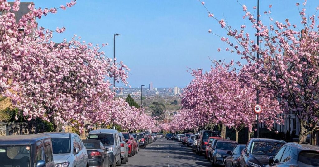
The map is part of a programme to get every neighbourhood more leafy cover.
It shows the number of trees already planted over the last year, from Highgate in the west to Tottenham in the east, Harringay in the south to Bounds Green in the north — they are all mapped out.
“It’s been another great year of planting,” the council’s climate action cabinet member Mike Hakata revealed. “But we’ve only just begun.
“We want to keep planting till every neighbourhood has at least 30 per cent tree cover.”
MORE NEWS: New opening date revealed for library closed for two years
Website users can see the variety in their neighbourhood, showing which ones have been sponsored by the community.
The council has planted 2,000 saplings in the past 12 months alone, including two plots of land being transformed into mini forests, one at New Road Park near Wood Green and the other at Paignton Park in South Tottenham.
Another 850 saplings have been planted in the streets, on housing estates and in open spaces as part of an urban forest programme with 6,000 new trees in just three years — the target is 10,000 by 2030.


